Site Planning
Site planning
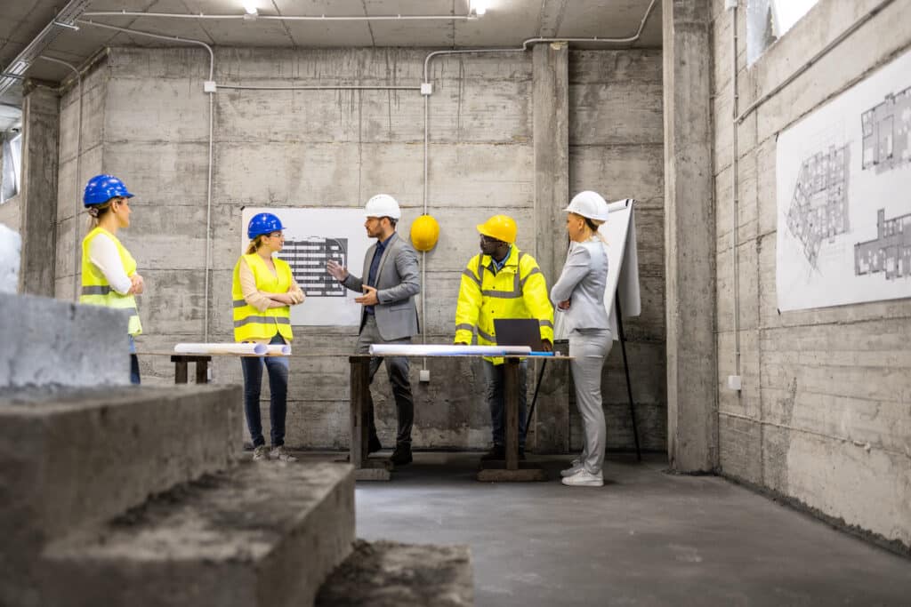
At its core, site planning determines how a construction project will be situated on a given plot of land. It ensures the optimal arrangement of buildings, parking areas, landscapes, utilities, and other site-specific features. Conducted during the preconstruction phase, it sets the tone for the entire project, ensuring that it stays on the right trajectory.

What does site planning entail?
Site planning encompasses the entire property or plot of land where the project will be located.
Think of it as a detailed roadmap that plots out the arrangement of buildings, landscapes, utilities, and more on a chosen piece of land. This goes beyond spatial considerations. It involves discussing accessibility requirements, gauging environmental impact, and ensuring strict compliance with local regulations.
By having a strong planning foundation in place, projects can anticipate and tackle potential challenges to save time and money, streamline workflows, and foster seamless coordination between architects, contractors, and other stakeholders.
Key elements of site planning

Site Analysis
A deep dive into the plot of land, understanding its nuances, opportunities, and limitations. Consider constraints, such as existing structures or easements, and evaluate conditions from topography to soil types.

Accessibility & Circulation
The site must cater to both pedestrians and vehicles, while also blending with broader public transportation networks. This includes crafting logical entry and exit points.

Utilities & Infrastructure
It’s important to map out existing connections, such as water and electricity, and to plan ahead for future utility needs.

Landscaping & Environment
This means incorporating the natural beauty of green and adopting eco-friendly designs and practices.

Zoning & Regulatory Compliance
Adherence to local zoning laws and securing all requisite permits ensure the project remains compliant with legal frameworks.
Tools & techniques
Today’s site planners are armed with an arsenal of sophisticated tools and techniques. Digital platforms like GIS (Geographical Information Systems) allow for in-depth mapping and analysis of site characteristics. BIM (Building Information Modeling) revolutionizes construction visualization with its 3D capabilities. Drones offer a fresh perspective, providing aerial imagery and real-time site data, while stakeholder workshops champion a collaborative approach, valuing insights from every involved party.
Industry insights
We turn your vision
into a reality
Let SCG handle the complexities of your project, from site evaluation to design and construction.


